

Close
By reframe.food
An orchard in late summer is a mess of textures. Leaves move. Fruit hides. Shadows crawl along rows as the sun drops. A tractor moving through that environment has to make sense of it without the benefit of context that a human operator accumulates over years.
Modern farm machines build their picture from several sensors at once. A LIDAR unit sends out pulses of laser light and measures how long they take to return, producing a cloud of 3D points that trace out every trunk, branch, and boom in range. Cameras capture colour and fine texture that LIDAR alone cannot see. Inertial sensors track the motion of the vehicle itself, filling in the gaps between sensor readings. GNSS receivers anchor the whole construction to a known spot on Earth.
None of these sensors on its own is enough.
LIDAR is accurate but colour-blind to the differences between a weed, a sapling, and a young vine at the same height. Cameras are rich in detail but lose depth information in low light or heavy dust. GNSS loses precision under tree canopy. Each sensor covers a weakness in another, and the real work happens when their streams are combined.
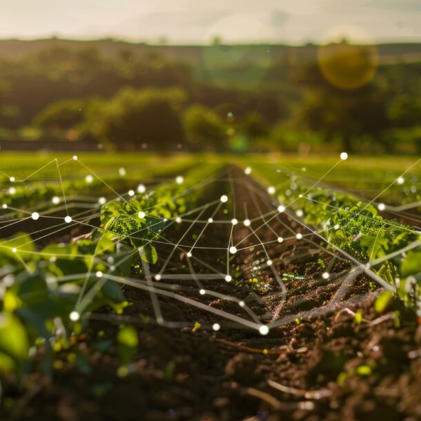
That combination is called sensor fusion, and it is where a lot of agricultural robotics research has concentrated over the past decade. The goal is to build a single consistent model of the world, updated several times a second, that the machine can reason about. The technical literature usually calls the result a 3D occupancy map or, in the path-planning variant, a costmap.
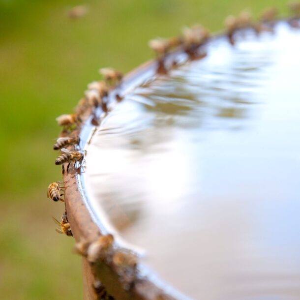
There is a further problem specific to farms. The world a tractor drives through is not a static warehouse floor. It is alive. Leaves grow. Soil softens after rain. Animals wander through. A model trained on one orchard in spring may not hold up in the same orchard in autumn. This is why agricultural perception has moved steadily toward approaches that update online, adjust to seasonal change, and recognise when they are uncertain rather than confidently wrong.
The technical term for the combined “where am I, and what is around me” problem is Simultaneous Localisation and Mapping, or SLAM. It is a deliberately demanding problem because the machine cannot be told the answer to either question beforehand. It has to work out both at once, from sensor data.
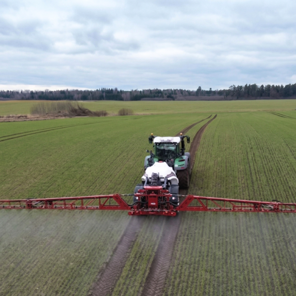
Projects like Smart Droplets sit in a broader European effort to make farm-grade SLAM reliable enough to trust in real spraying operations, where a wrong turn is not merely inconvenient but has agronomic consequences.
For farmers, the takeaway is not a shopping list of sensors. It is that the perception stack on a modern autonomous machine is a layered construction, not a single clever gadget, and that its reliability is a function of how well those layers agree with each other. A tractor that sees well is one that has learned to distrust any single sensor.
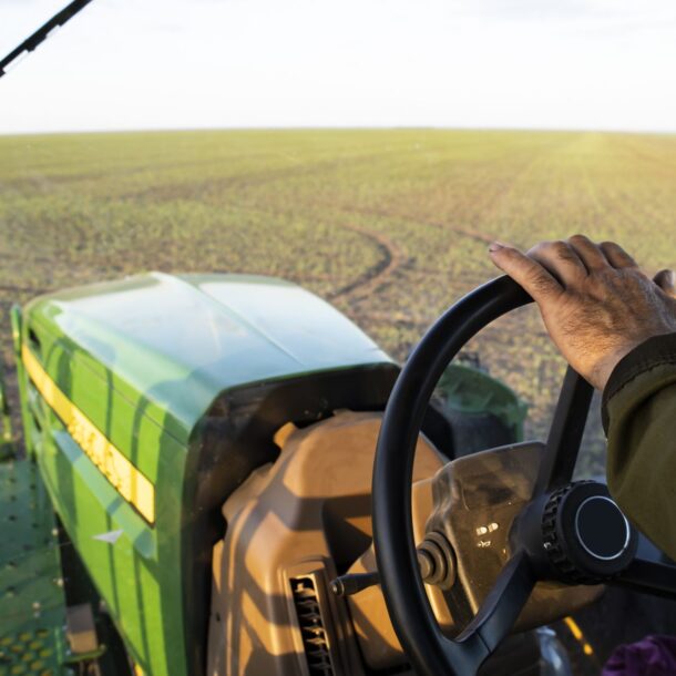
The cab mirror got us a long way. The point cloud is what comes next.